|
|
Back to Calendar Meet the Riders Home Day 37 (Mon 8/3/09)Another century and lots of climbing today!Yesterday Tomorrow
|
|
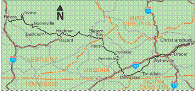

| ROUTE: Berea to Hazard, KY | DISTANCE: 100 miles | TOTAL CLIMBING: 10,473 ft |
Click here for Garmin daily ride data
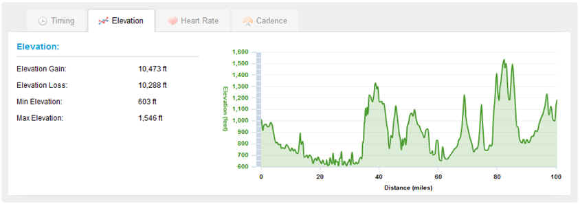
Some major climbing today. Our 14 century ride and the second largest elevation gain since we left Silverdale.
Click here for Summary Data sheet
(This is cool if you like lots of data! It may take a few seconds to load but you can hit play and time compress our ride. )
DAILY REPORT: Weather -- supposed to be great weather today. Sunny and in the mid 80's. I used lots of sunscreen this morning :)
We started off a little slow this
morning. I woke the boys at 6:40 and when I checked on them after 0700; they
were still in bed. We 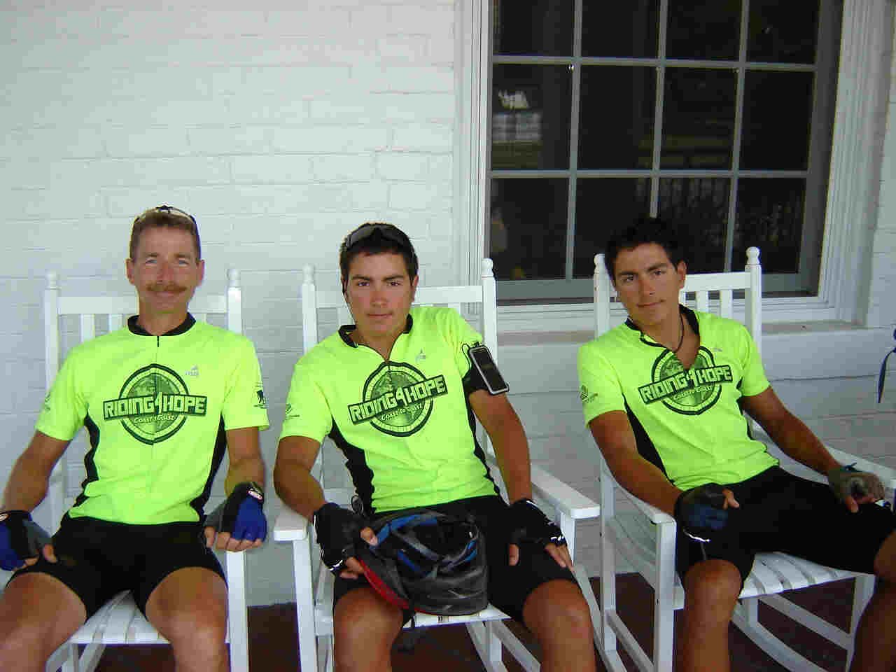 knew
that this was going to be a century day ride w/ lots and lots of hills to
include some major climbs. So we didn't get on the road until 0900. Of course we
did have a little time to just lounge around a little!!
knew
that this was going to be a century day ride w/ lots and lots of hills to
include some major climbs. So we didn't get on the road until 0900. Of course we
did have a little time to just lounge around a little!!
The ride out of Berea was really nice. We were immediately out in the farm country. There was a fair amount of wildlife. We saw several flocks of turkeys with all their chicks following along. And of course there were more turtles crossing the road.
 Today
was our biggest day so far for being chased by dogs. I would estimate that it
was nearly two dozen or so. Some were more interested in just running along side
you and then there were those that were eyeing you up as a tasty treat! Normally
a stern voice would stop them in their tracks. John and James almost had an
accident while speeding away from a big black dog when they touched wheels. I
was really impressed with a number of small terriers and beagles; they had some
good speed and endurance!! There are a number products on the market to keep
dogs at a distance. I reviewed all the products and have seen a few that other
cyclists carried....but since there are three of us we figured it would be a
good way to keep everyone motivated. As you know you don't necessarily have to
out bike the dog, just those you are riding with!!
Today
was our biggest day so far for being chased by dogs. I would estimate that it
was nearly two dozen or so. Some were more interested in just running along side
you and then there were those that were eyeing you up as a tasty treat! Normally
a stern voice would stop them in their tracks. John and James almost had an
accident while speeding away from a big black dog when they touched wheels. I
was really impressed with a number of small terriers and beagles; they had some
good speed and endurance!! There are a number products on the market to keep
dogs at a distance. I reviewed all the products and have seen a few that other
cyclists carried....but since there are three of us we figured it would be a
good way to keep everyone motivated. As you know you don't necessarily have to
out bike the dog, just those you are riding with!!
We did meet two other cyclists going the opposite direction during one of our breaks. they had started in Boston MA and dropped down to VA to catch the TransAmerica route with their ultimate destination being Astoria OR. They had made some interesting modifications for their bike; like ash fenders. They looked good.
 At
the end of the day we did end up climbing over 10,000 feet. That is the second
largest amount for the entire trip. What is even more impressive is that we are
just getting into the Appalachians. It is apparent the farther into the
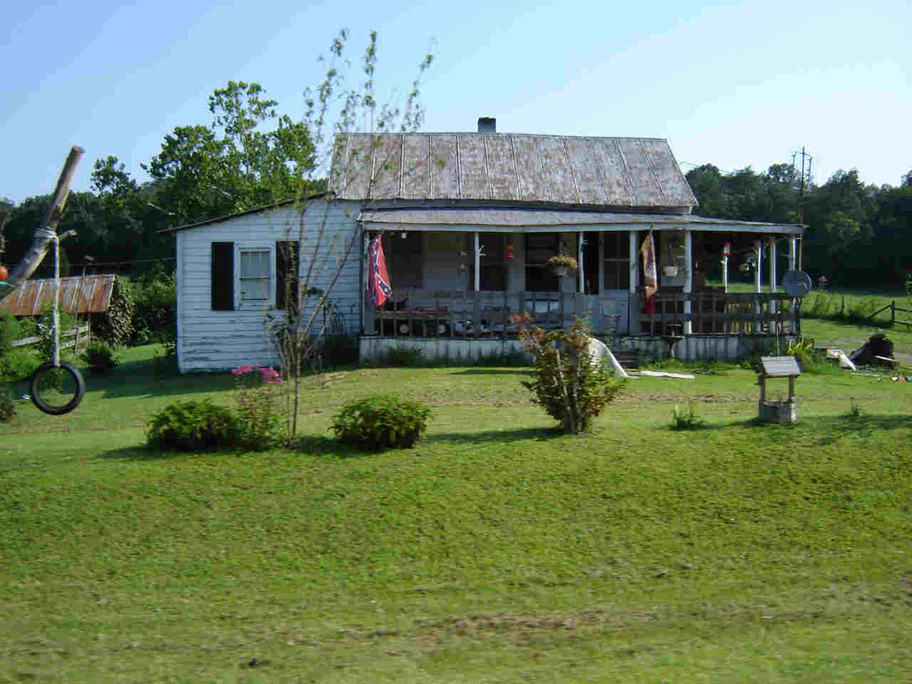
mountains we go, the poorer the homes are looking. Now there are some really
nice homes along he way; but we are seeing a lot more trailers/mobile homes. We
have seen a few confederate flags as well.
At
the end of the day we did end up climbing over 10,000 feet. That is the second
largest amount for the entire trip. What is even more impressive is that we are
just getting into the Appalachians. It is apparent the farther into the
mountains we go, the poorer the homes are looking. Now there are some really
nice homes along he way; but we are seeing a lot more trailers/mobile homes. We
have seen a few confederate flags as well.
I would still say for the most part all the folks we have met have been really great. Lots of questions, great recommendations on routes, and big hearts. We talked with a farmer who was the fifth generation who lived in the same home. The house was built in the early 1800's. He was pretty neat. I will also point out he has never used the internet.....see John & James, it is possible to live w/ out the internet!
Well tomorrow we will cross into Virginia and ride as far as Lebanon. There are possible thunderstorms so we'll keep our fingers crossed. We may see a few more trucks on the road carrying coal as we continue into VA.
Thanks for joining us.....ride safely and keep the wind to your back!!
The Riding4Hope Team
(David, John, James & Skip)
Signing out 8/4/09; 0045
| YOU DON'T
SAY:
David - waking the boys up a second time "The goal here is that you get up the first time I call you.....this way we can leave on time!" John - "This ride today would have been a lot more fun if we weren't being chased by all those dogs!" John - After climbing a major hill "I don't think I have ever sweated so much before!" Skip - I receive this phone call after lunch. "David we have a problem. The hotel we reserved is not here in Hazard it is in Pennsylvania!" Yep I doubt I'll be able to convince the boys to ride any farther than Hazard today. James - commenting on the scarecrow/voodoo doll tied to the sign; "That's just wrong!" |
DID I REALLY
DO THAT?
So we have had a little problem with Skip getting lost and then blaming it on the GPS, so this morning I had our biking maps copied and Skip was given a set so that he would know the exact route we were taking to our destinations. There was a shortage of water stops this morning so we asked Skip to meet us at the 30 mile point so we could refill our water bottles. An hour into the ride Skip passed us; this was a good sign. Two hours into the ride I get a call from Skip that he was lost! Hmmm...see a trend here!! And it doesn't have to do w/technology either!!
|
|
PHOTOS OF THE DAY |
|
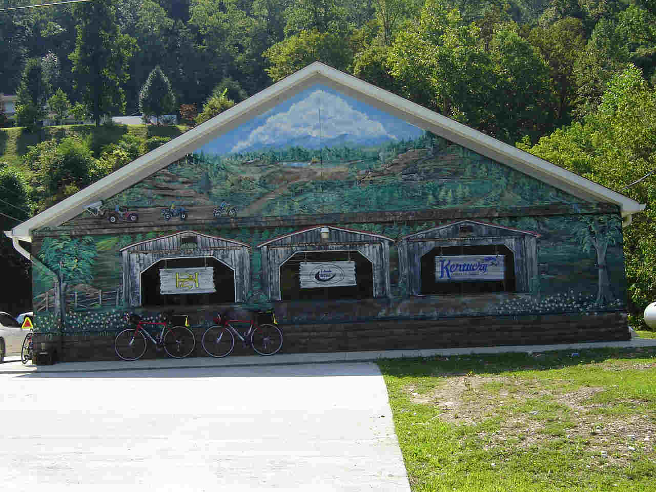
Cool mural on the gas station in Bucksville KY. |
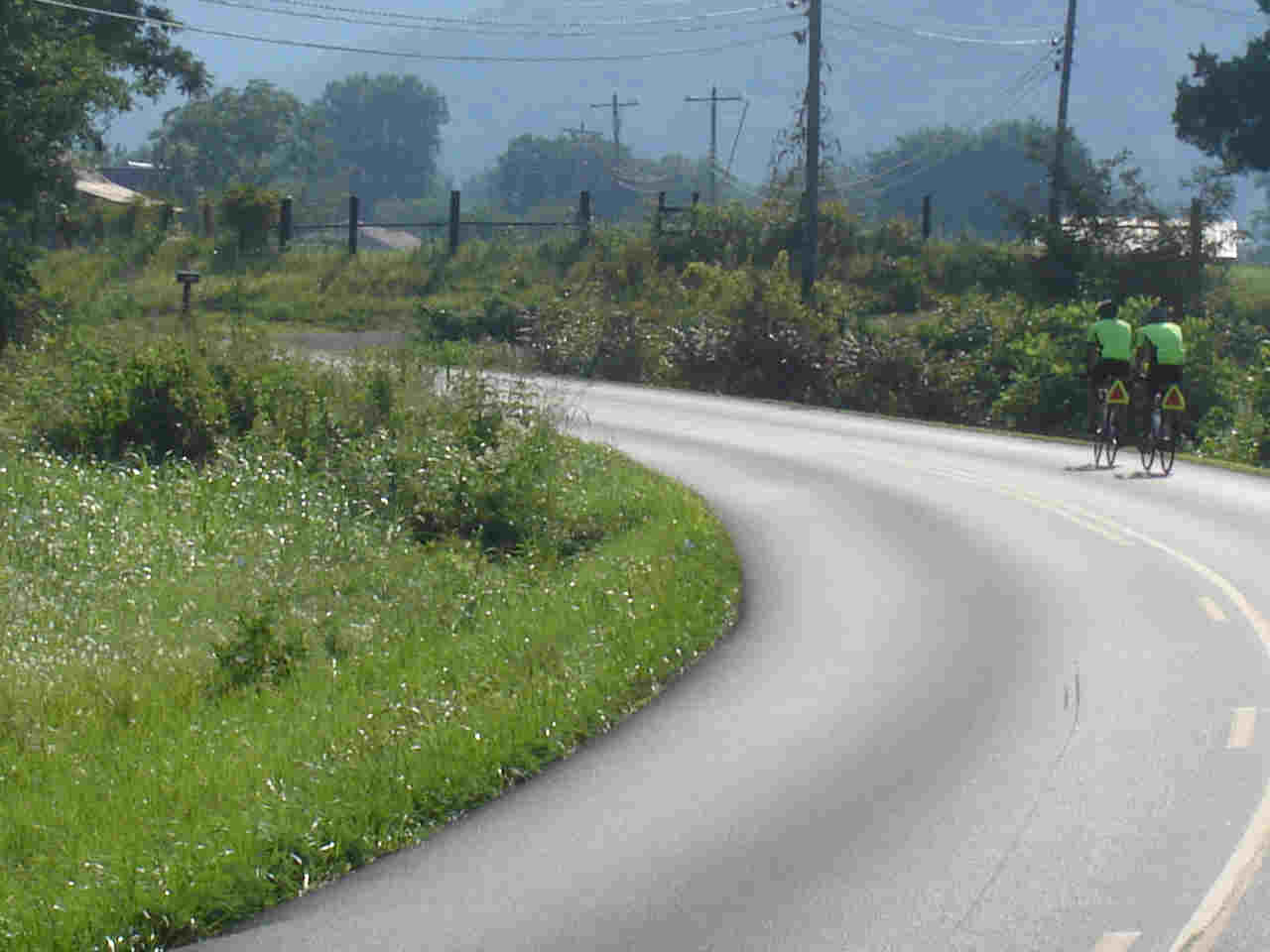
Just a nice morning ride! |
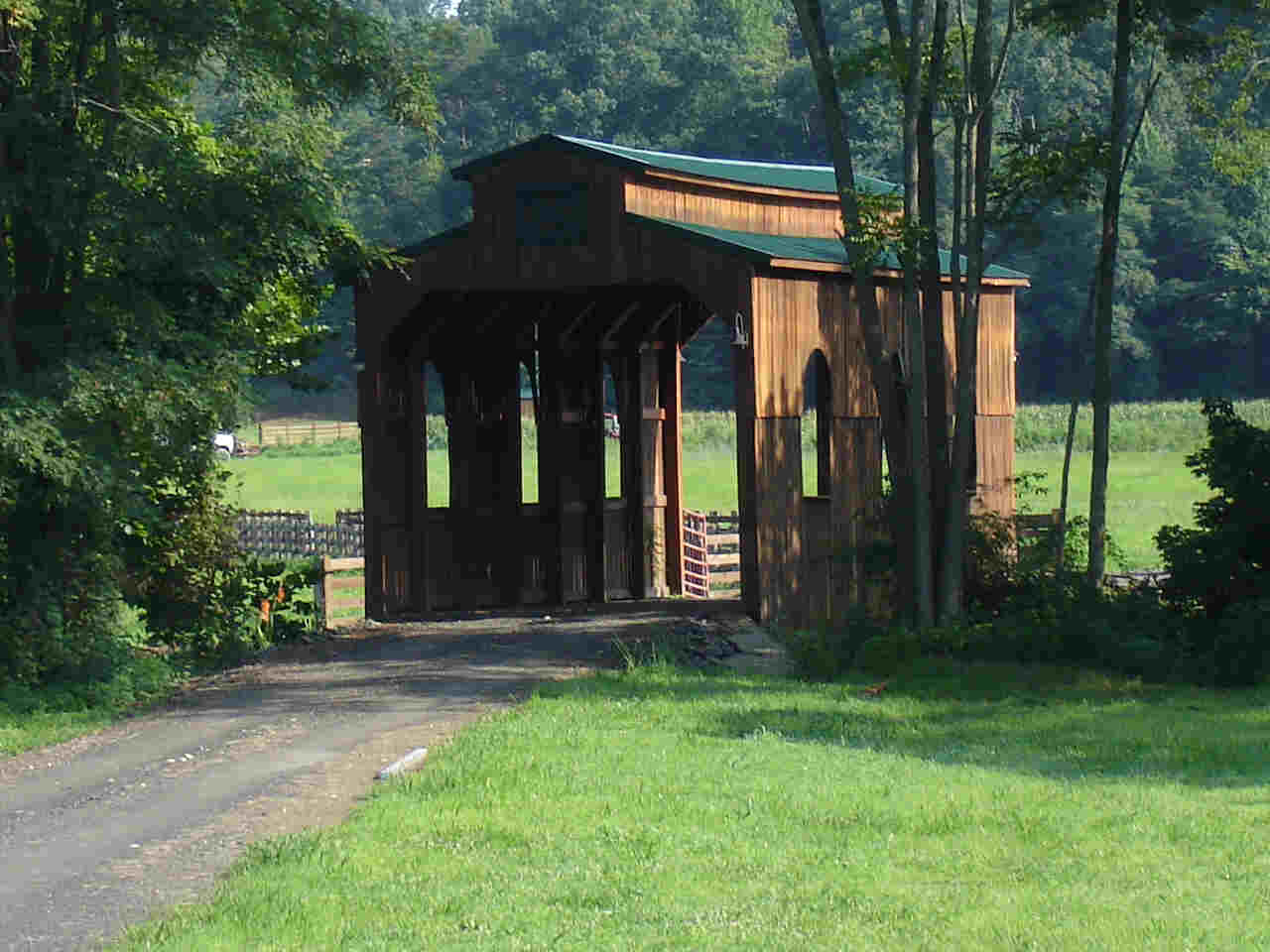
First covered bridge I have seen on this trip. Now it was over a stream to the guys property; but it still was a covered bridge! |
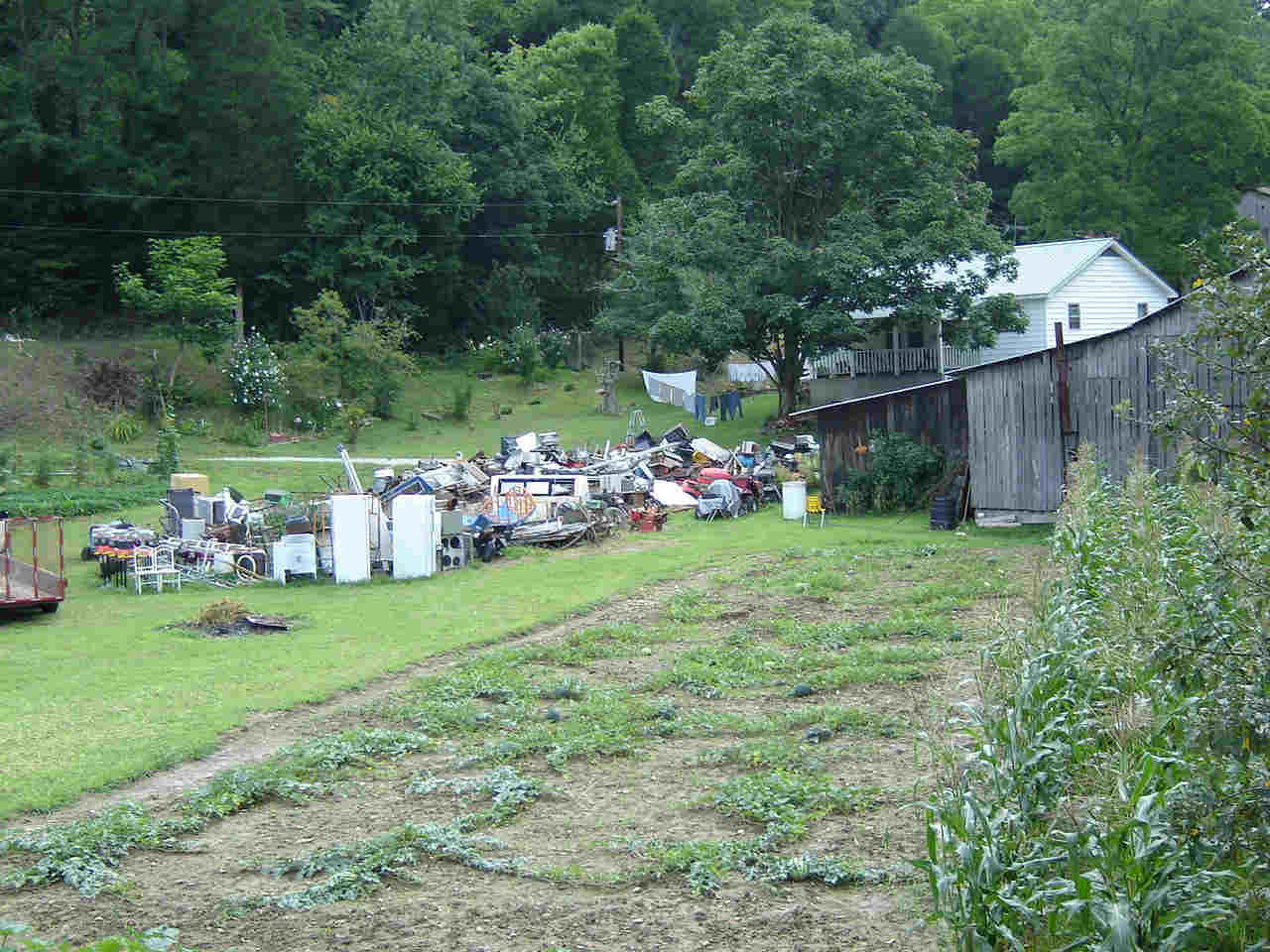
Now I was impressed with the amount of stuff that was out in the front yard.....and it didn't look like there was going to be a yard sale either! |
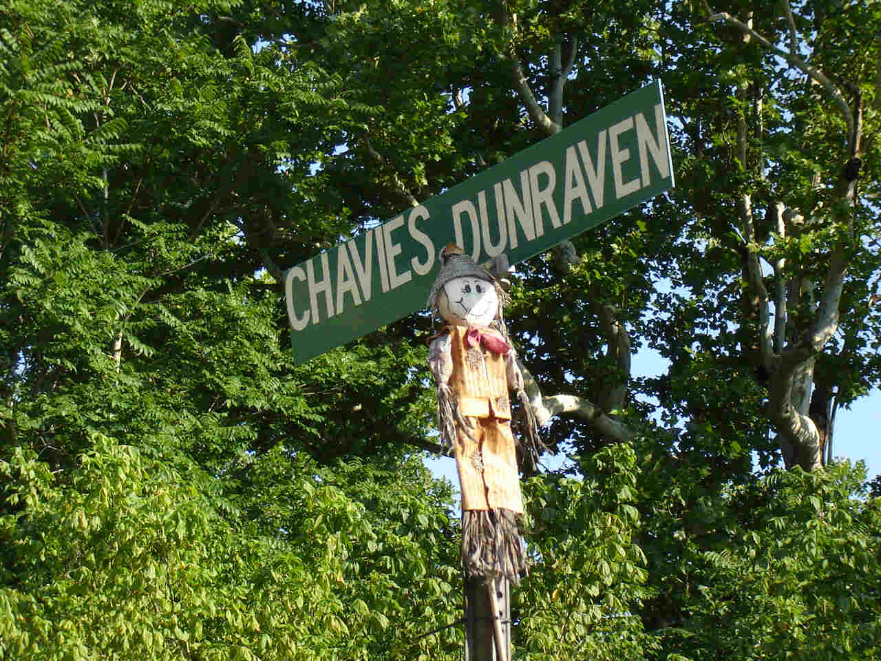
Not sure what this was all about; but we didn't stick around to ask questions either. |
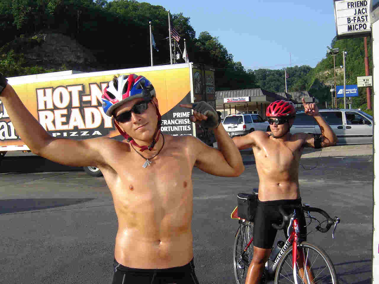
We had a 10 mile ride into Hazard mostly up hill with lots of traffic. We arrived at 7 PM and it was 88 deg. Thank goodness there was a Taco Bell right next to the hotel! |